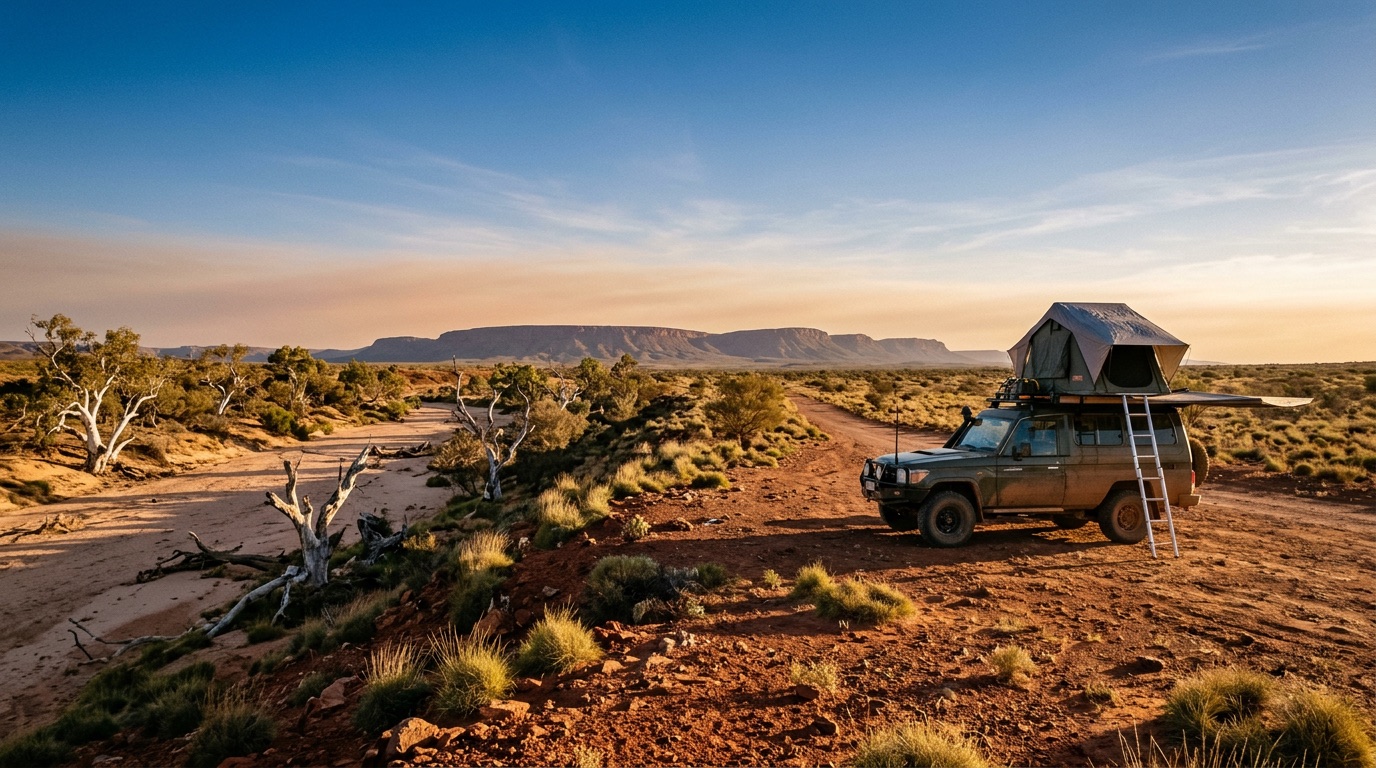
Camping and 4WD, offline first
Maps that keep working when the bars drop out.
Free camps, national parks, caravan parks and station stays, on a map that lives on your phone. Not a service you have to be in range to use.
Camping and 4WD, offline first
Free camps, national parks, caravan parks and station stays, on a map that lives on your phone. Not a service you have to be in range to use.
Maps, search, reviews and your saved sites live on the phone. The app tells you plainly when you are offline instead of pretending otherwise.
There is no advertising SDK and no third-party analytics in the app. We do not sell your trips, and there is no product in which we could.
Written in Newcastle for Australian conditions, with Australian data, Australian spelling and metric units throughout.
How it works
It opens on a full screen map, not a list. Pins are coloured by what the place actually is, so you can read it at arm’s length: free camps and national parks in green, caravan parks in blue, station stays and private land in yellow.
Download your state before you leave and the whole thing keeps working past the last tower. When you are out of range the app says so, and keeps showing you what it already has.
Read this part
Fire warnings, closures, tide times and coverage come from public feeds and from other campers. Any of it can be wrong, stale or missing. Check the official source for your state before you rely on it, tell someone where you are going, and carry a way to call for help that does not depend on a phone tower.
Conditions on a remote track change faster than any app can follow. Your judgement on the ground beats anything on the screen.
The paperwork